
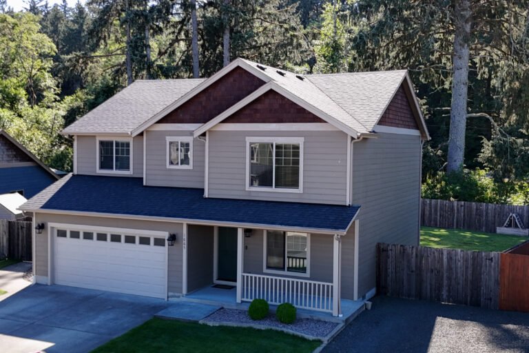
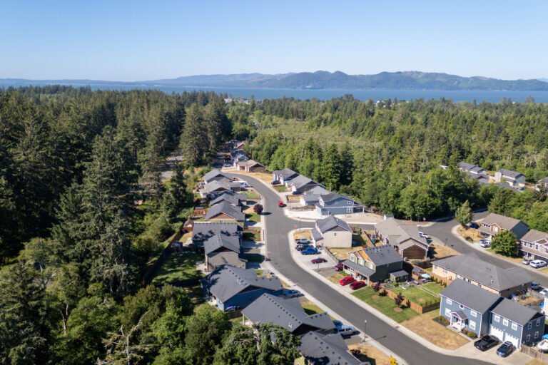
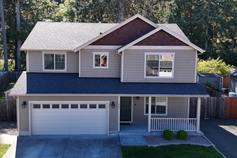
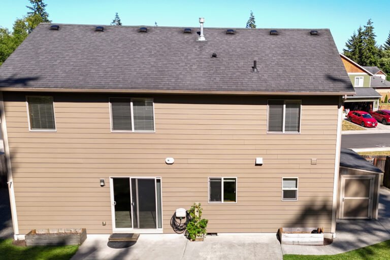
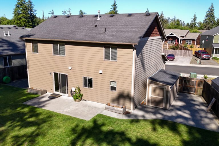
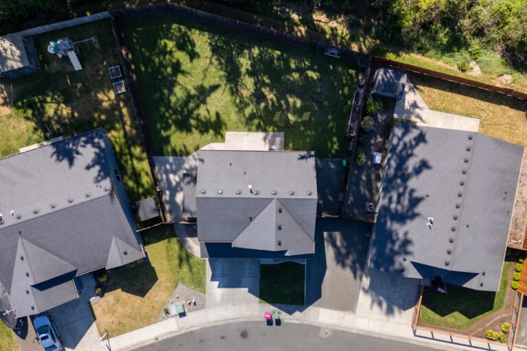
Sky High Real Estate
Professional real estate photography and aerial media designed for modern property listings.
Serving Northwest Oregon and Southwest Washington
Fast Turnaround
24–48 hour delivery
MLS Ready Images
Optimized for listings
High Resolution Aerials
Professional drone photography
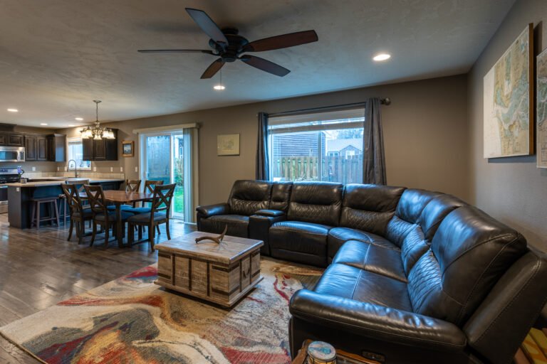
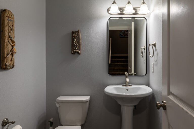
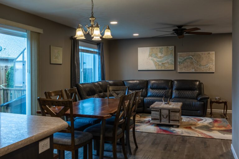
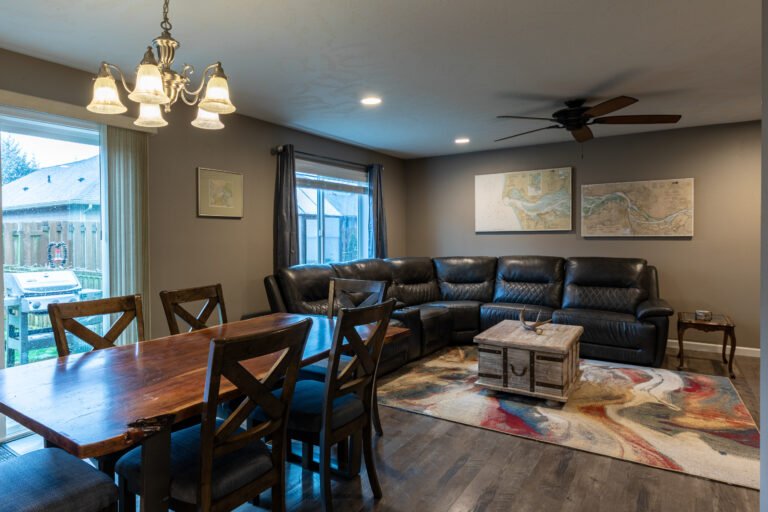
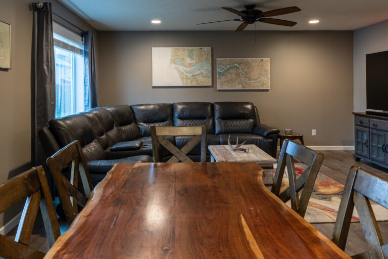
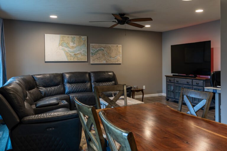
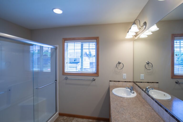
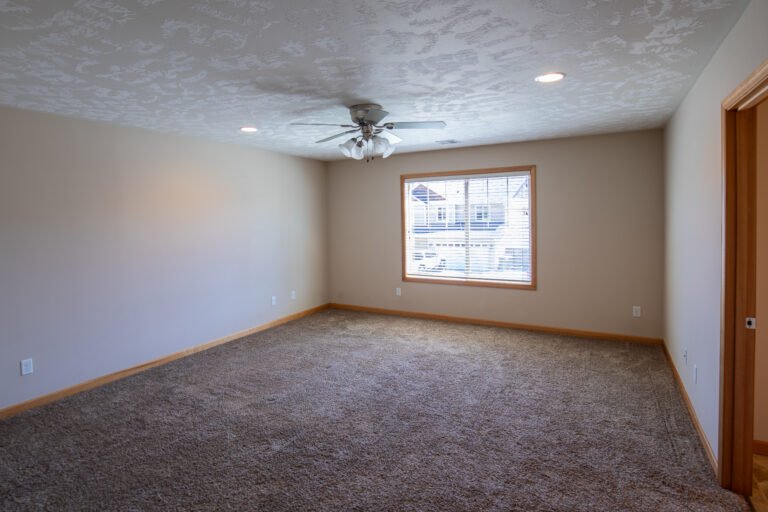
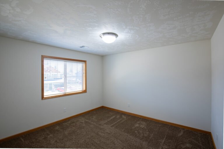
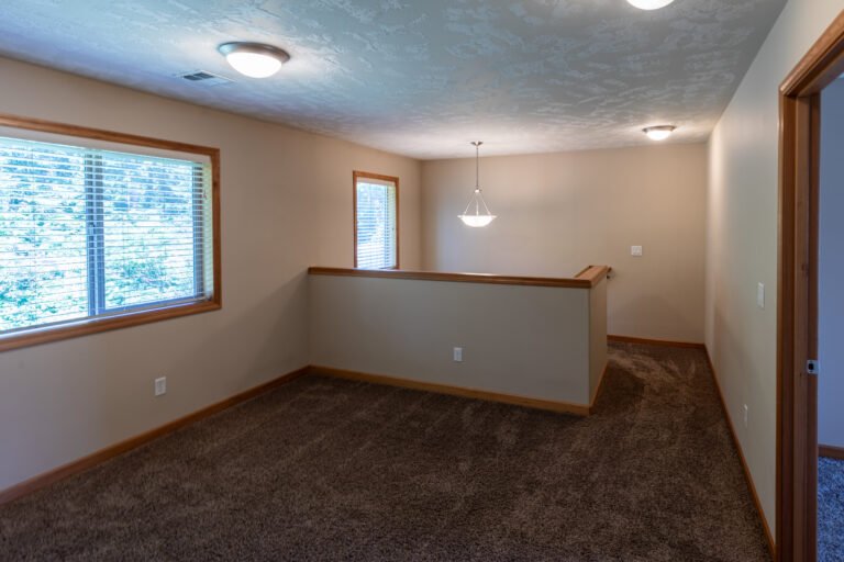
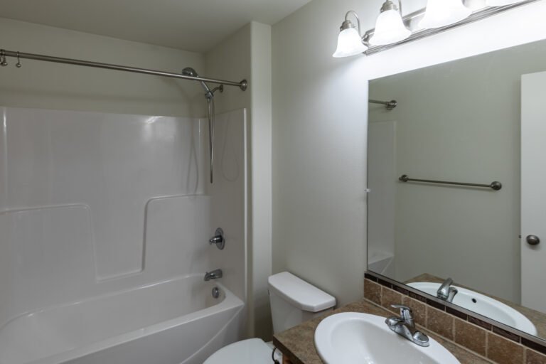
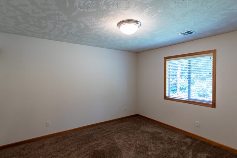
Real Estate Media Pricing
Professional real estate photography and aerial media designed to help listings stand out.
Basic Listing
Starting at $325
Best for smaller homes or simple listings up to 1,500 sq ft
Includes:
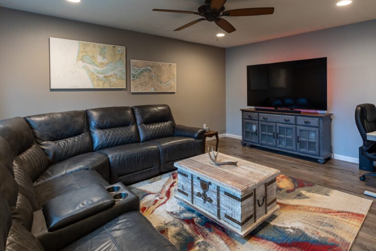
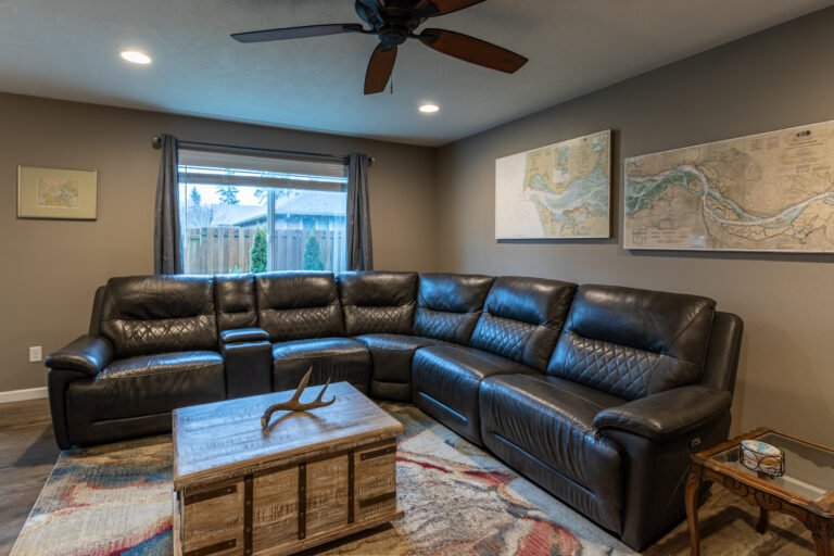
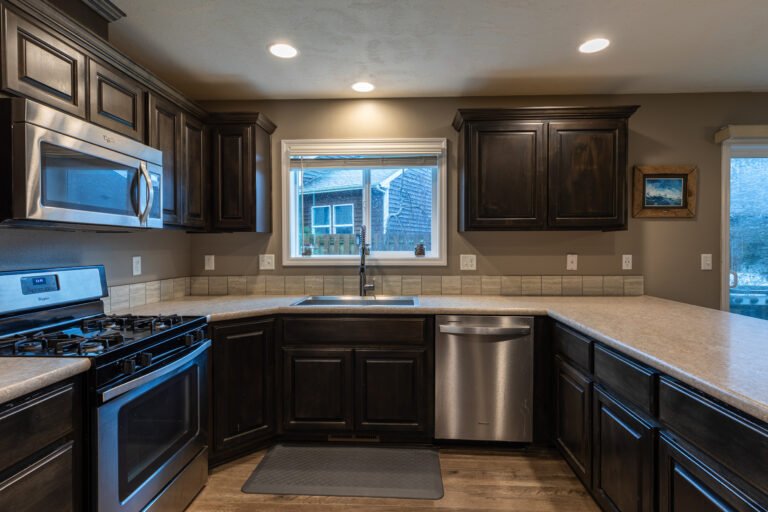
• Interior & exterior photography
• ~20 professionally edited photos
• High-resolution downloadable images
• MLS-optimized formatting
• Professional color correction and editing
Typical turnaround: 24–48 hours
Premium Listing
Starting at $475
Ideal for most residential listings up to 4,000 sq feet
Includes:
• Interior & exterior photography
• Aerial drone photography
• ~30–40 professionally edited photos
• Wide property coverage
• Professional editing and color correction
• High-resolution downloadable images
Typical turnaround: 24–48 hours
Luxury Listing
$875+
For luxury homes, estates, or large properties.
Includes:
• Interior & exterior photography
• Aerial drone photography
• ~40–60 professionally edited photos
• Cinematic drone video footage
• Cinematic walkthrough video
• Advanced photo and video editing
Custom pricing based on property size and scope.
Typical turnaround: 48–72 hours
Optional Add-Ons
- Drone video footage — $175
- 360° virtual tour — $200
- Twilight photography — $150
- Large acreage coverage (up to 50 acres) — $175
- Travel included within 50 miles of Astoria / Warrenton
- Custom Mapping
*Most real estate shoots are completed in under one hour and delivered within 24–48 hours.
Ready to Schedule a Real Estate Shoot?
Service & Data Disclaimers
Mapping Service Disclaimer
Drone mapping services provided by Sky High are intended for visual documentation, planning support, and general measurement purposes. While high-resolution aerial imagery and RTK positioning can provide highly accurate measurements, these services are not a substitute for a licensed land survey.
Sky High does not provide licensed land surveying services, boundary determinations, or legal property measurements. Measurements, distances, or areas derived from aerial imagery should be considered approximate and for informational use only unless verified by a licensed professional surveyor or engineer.
Clients are responsible for verifying measurements before relying on them for engineering, construction, permitting, or legal purposes.
Data accuracy may vary depending on site conditions, terrain, vegetation, and available GPS correction signals.
Flight Operations & FAA Compliance
All drone operations are conducted in accordance with Federal Aviation Administration (FAA) regulations, including FAA Part 107 where applicable. Flights are subject to airspace restrictions, weather conditions, visibility requirements, and operational safety considerations.
Certain locations may require airspace authorization, waivers, or property access permissions prior to flight operations. Scheduling and service availability may be affected by regulatory requirements or environmental conditions.
Image Accuracy & Representation
Aerial imagery and mapping data represent conditions at the time of capture only. Site conditions may change after imagery is collected due to construction activity, environmental factors, or other site modifications.
While Sky High makes reasonable efforts to produce accurate and high-quality imagery, no guarantee is made that imagery or data will reflect all conditions present at a site.
Property & Access Responsibility
Clients are responsible for obtaining any necessary permissions, property access rights, or coordination required to perform drone services over private property or controlled areas.
Sky High assumes that the client has authorization to request aerial services for the location being documented.
Privacy & Responsible Operation
Drone services are performed with respect for privacy and applicable laws. Sky High does not intentionally capture imagery of individuals or private activities unrelated to the project scope.
Operations are conducted in a professional manner consistent with responsible aerial imaging practices.
Environmental & Operational Conditions
Drone operations may be affected by environmental conditions including wind, precipitation, lighting, temperature, and obstacles within the flight area. In some cases these conditions may impact flight scheduling, imagery quality, or operational safety.
Sky High reserves the right to reschedule flights if conditions are determined to be unsafe or unsuitable for aerial operations.
Data Use & Liability
Aerial imagery, mapping data, and visual documentation provided by Sky High are intended for informational, planning, and documentation purposes. Clients are responsible for determining the suitability of the data for their specific use case.
Sky High shall not be responsible for decisions made based on aerial imagery or measurements without appropriate professional verification where required.
Data Storage & Retention
Sky High will retain client project imagery and mapping data at no additional cost for a minimum of 90 days after delivery. During this time clients may request additional copies of deliverables or file access if needed.
After the retention period, Sky High may archive or remove project files to manage storage capacity. Long-term data storage or archival access may be available upon request. Data will be archived for one year.
Clients are encouraged to download and securely store their project deliverables after delivery.