About Sky High
Sky High Aerial Photography provides professional aerial photography, video, mapping, and inspection services across the Columbia River region and Oregon Coast.
Meet the Pilot
Sky High is operated by Thomas Molloy, a U.S. Coast Guard veteran with more than two decades of experience operating in maritime and coastal environments.
After 22 years of active duty service in the Coast Guard, Thomas developed extensive experience working on the Columbia River and Pacific Northwest coastline as a U.S. Coast Guard Short Range Unmanned Aerial Systems Instructor at the National Motor Lifeboat School. His operational background provides a strong foundation for conducting safe and professional aerial operations.
Today, Sky High focuses on aerial photography, drone mapping, inspections, and cinematic media projects.
Credentials
FAA Part 107 Certified Drone Pilot
Certified Aerial Roof Survey Specialist — Drone Launch Academy
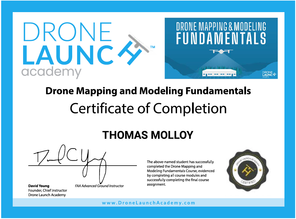
Drone Mapping and Modeling Fundamentals — Drone Launch Academy
22-year U.S. Coast Guard veteran
Professional Equipment
Sky High uses professional drone platforms capable of capturing high-resolution imagery and precise aerial data.
Primary equipment includes:
DJI Mavic 3 Enterprise with RTK
DJI Air 3 aerial video platform
professional editing workflows
This equipment allows safe operations and detailed aerial imagery for mapping, inspections, and media production.
Service Area
Sky High operates across the Columbia River region and Oregon Coast, including:
Astoria
Warrenton
Hammond
surrounding coastal communities
Professional Aerial Services
Sky High works with property owners, businesses, contractors, and media clients to capture unique aerial perspectives and deliver high-quality imagery.