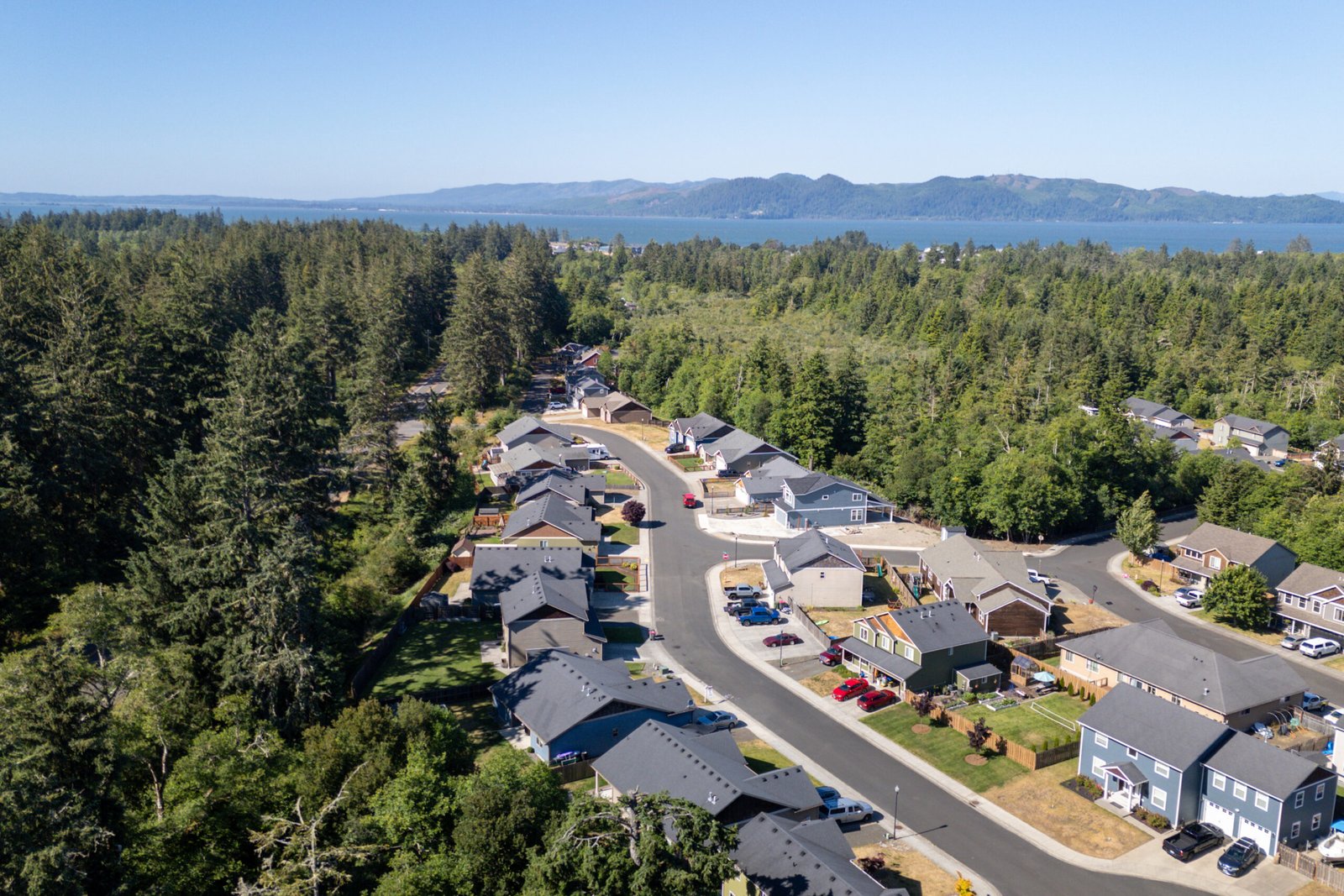
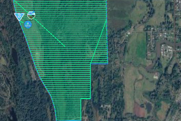
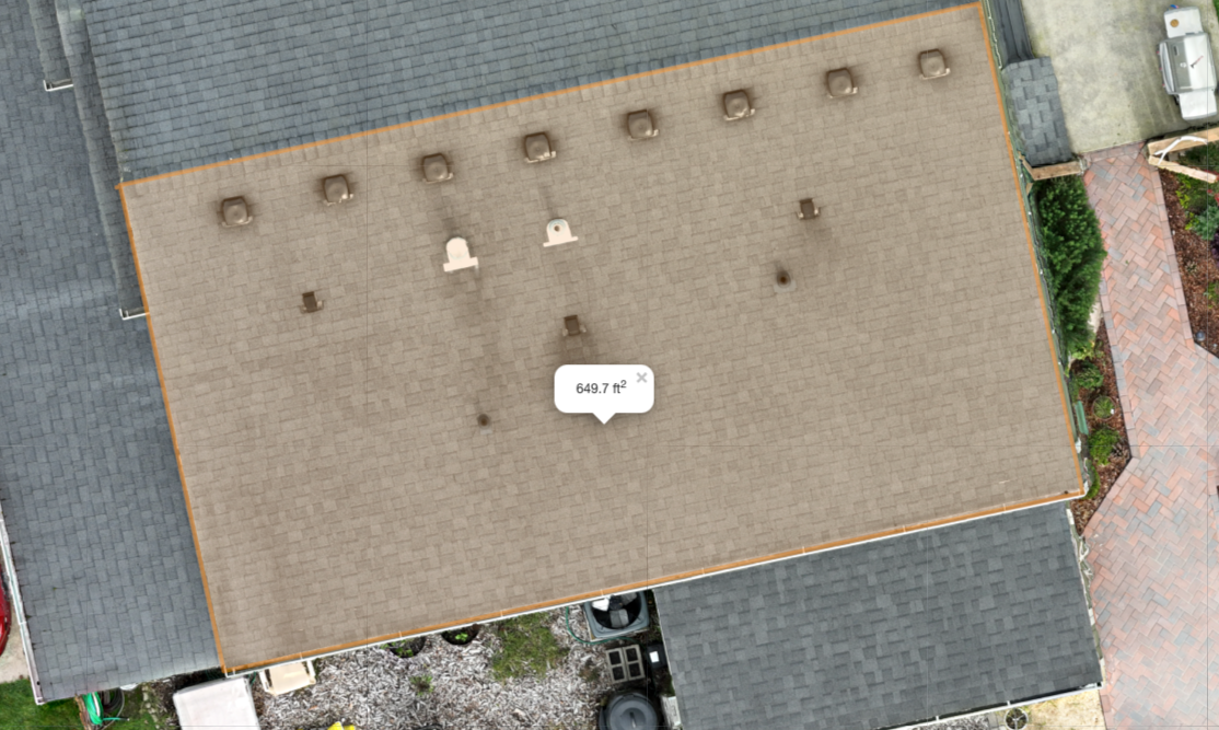
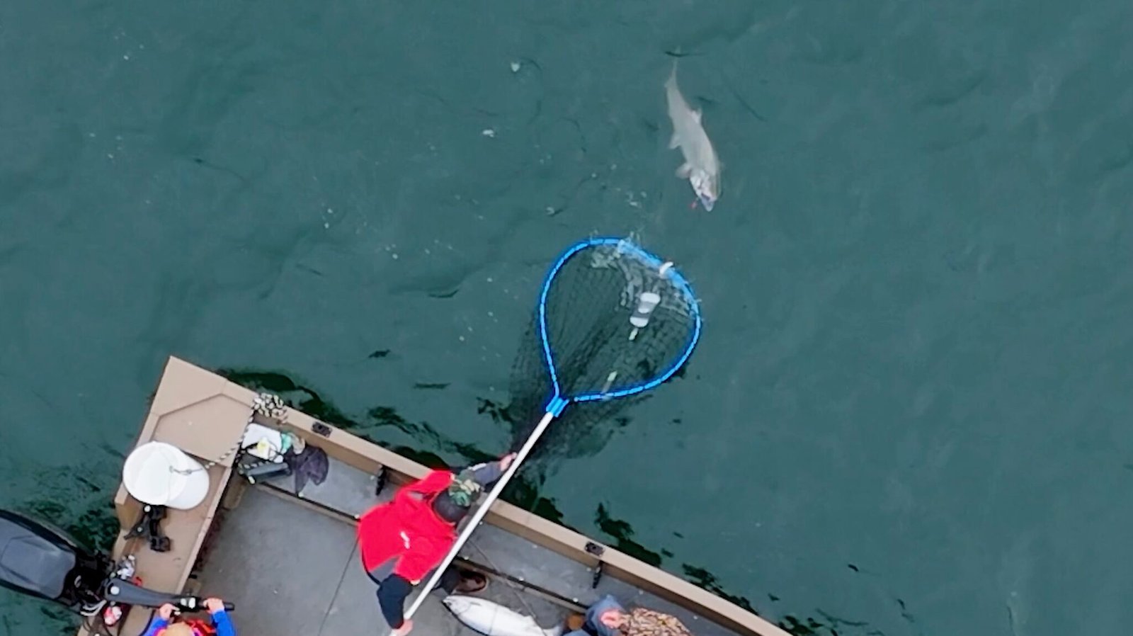
Pricing Up-front, transparent pricing for aerial photography, video, and mapping services across the Columbia River region and Oregon Coast. Real Estate Media Starting at $325Includes:Interior & exterior photography~20 professionally edited photosHigh-resolution downloadable imagesMLS-optimized formattingProfessional color correction and editingAdditional services available:Aerial photosCinematic property videoLarge property coveragePricing may vary depending on property size and location. Drone Mapping Starting at $300 Includes: Orthomosaic mapping High-resolution aerial imagery Downloadable mapping data Common projects include: Construction progress Land development Property documentation Pricing varies depending on acreage and project complexity. Drone Inspections Starting at $200 Includes: Aerial inspection photos High-resolution imagery Digital delivery Typical inspections include: Roofs Structures Infrastructure Property assessments Adventure Filming $300 — 2 Hour Session Includes: Drone aerial filming B Roll footage Scenic river footage Edited highlight video Customer requests include: Fishing TripsGraduation Videos/ PhotosVacationsMarketingCharity Events Request a Quote